
There’s a long-running surveying industry joke that says, “GIS stands for Get It Surveyed.”
It’s usually followed by a laugh. Then a story about a property line that wasn’t where the map said it was.
It’s funny because surveyors know something most people don’t: what’s on a screen and what’s on the ground aren’t always the same thing.
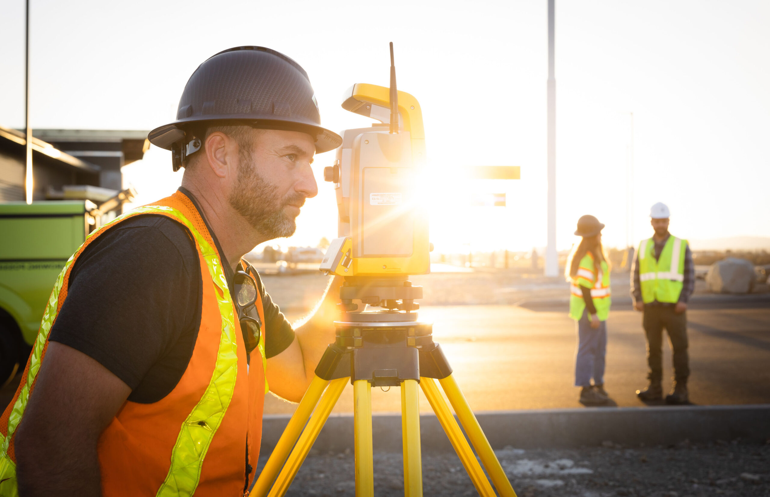
As Keller Survey Technician Carter Leishman said, “Without survey, you can’t really design.” Before engineers can design a roadway, bridge, utility, or development project, they need reliable information about existing conditions. And surveyors are responsible for collecting that information.
Here are five things Keller surveyors know that Google Earth doesn’t:

1. Fences Aren’t Always Boundaries
Many people assume a fence marks a property line.
Sometimes it does. Sometimes it doesn’t.
Online maps come in handy, but they don’t tell the whole story. Before determining a boundary, surveyors review deeds, plats, right-of-way records, and historical documents, then verify that information in the field.
Think of a map is a starting point. And a fence is a clue. Surveyors confirm what’s actually there.

2. Surveyors See Clues Most People Walk Past
Most people walk right past survey monuments without noticing them.
Surveyors don’t.
A brass cap. A piece of rebar. A railroad spike. An old pipe. Even the end of an axle.
To most people, they’re scraps of metal. To a surveyor, they’re evidence.
Those small clues help tell the story of a property’s history and boundaries. And once you know what they look like, you start seeing them everywhere, hidden in sidewalks, roadways, and street corners.

3. Drones Capture More Than Pretty Pictures
Modern drones do much more than take aerial photos.
They collect thousands of data points that can be turned into accurate maps and site models engineers use during design.
As Senior Survey Technician Andy Hafen explained: “These ortho images aren’t just for pretty pictures. They’re also for you to design off of.”
The image is helpful. The data behind it is what really matters.

4. Technology Helps, But Experience Still Matters
Drones, 3D scanners, and AI can collect and organize huge amounts of information.
But technology can’t replace professional judgment.
Surveyors still have to verify data, solve problems, and understand the conditions on the ground. A project that looks simple from an aerial image can become much more complicated once you account for terrain, vegetation, access, or existing infrastructure.
The goal isn’t more data. It’s useful data.

5. Every Great Design Starts with Trusted Information
Before engineers design a roadway, utility, bridge, or development project, they need reliable information about existing conditions.
That’s where surveying comes in. Surveyors are Keller’s data collectors, gathering the information project teams rely on to make informed decisions and avoid surprises.
Looking Beyond the Map
Maps, aerial imagery, and technology make it easier than ever to see the world.
Surveyors help us understand it.
At Keller, surveying combines research, fieldwork, technology, and experience to create data that engineers and clients can trust.
Because when it comes to building better projects, what’s on the map is only part of the story.
See what Keller can do. Explore our expertise >>